


Panasonic Avionics’ TAMDAR sensor, a mechanism designed to collect highly sophisticated weather data from the atmosphere during flight and feed that information into a larger dataset for wider benefit, is a key early demonstrator of how powerful a connected aircraft — indeed, a network of connected aircraft can be.
In the words of provider Panasonic Avionics:
TAMDAR data provides observations of wind, temperature, and moisture every 5 seconds as TAMDAR-equipped aircraft descend and ascend at nearly 300 airports across North America. Each day, these takeoffs and landings provide upwards of 1,500 “vertical profiles” in the vicinity of these airports, greatly supplementing the vertical profiles observed with National Weather Service balloons. TAMDAR also provide about 3,500 profiles each day from several hundred additional airports located in East Asia, the Pacific, and Europe.
The system, which stands for Tropospheric Airborne Meteorological Data Reporting, was purchased two years ago by Panasonic Avionics, and the widescale benefits for airlines, aviation and even beyond are clear.

TAMDAR is outfitted across PenAir’s fleet
But early TAMDAR adopter PenAir, a small Alaska-based US airline with sixteen Saab 340 turboprops — a mixture of 14 thirty-seater passenger versions and two cargo aircraft — is a longterm TAMDAR user.

“We currently have 16 aircraft equipped with TAMDAR,” Matthew Macri, PenAir’s director of operations, explains to Runway Girl Network. “PenAir has been using TAMDAR for about 10 years.”
Indeed, PenAir was an early adopter of the system, prior to the April 2013 acquisition of the system by Panasonic Avionics. TAMDAR was incorporated into PenAir’s operations through contact initiated by the predecessor of Panasonic, Airdat.
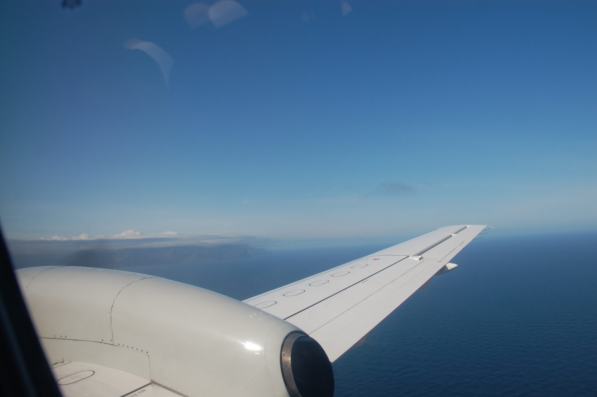
“We operate routes in Southwest Alaska, as well as, the Pacific Northwest and Northeast of the United States,” Macri says. “Stage lengths are between 300 and 700 nautical miles.”
Such short routes are particularly useful for the TAMDAR system, which gleans the most useful data below 20,000 feet, or Flight Level (FL) 250.

PenAir’s short routes mean a no-nonsense passenger experience — the emphasis is on a swift and safe operation
“Our Saab 340 is certified to FL250, but typically cruises FL190 to FL220,” Macri notes, illustrating why PenAir’s operations are so well suited to being TAMDAR detectors.
“We have different settings that allow for information to be gathered at various time rates,” Macri explains, “but position reports are generated in real time.”
The data are transmitted by an Iridium satellite data link, which can also be used for satellite phone purposes by PenAir’s pilots and operation teams.

PenAir’s flight crew see significant benefits from TAMDAR
Before TAMDAR, “the biggest challenge was communication and flight tracking,” Macri explains. For weather forecasting, PenAir used the significantly less accurate Forecast Winds and Temps Aloft meteorological product, which was based on a variety of data sources — almost all of which were less precise than TAMDAR.
And that’s the sweetener for PenAir: after the data from TAMDAR are fed into the system and forecasts are created, those products are provided to PenAir to give the airline significant operational benefits. “The information is most useful for winds aloft in determining optimal altitudes,” Macri says, highlighting that “the wind, icing and temperature information is all helpful but the website also allows us to flight follow in real time, which is an increased level of safety considering our remote operation.”
 “We log onto the Panasonic website,” Macri notes, explaining that operational staff “pass along the information during their initial, brief and if conditions change we can contact via the [satellite communications] function of TAMDAR.”
Macri highlights that a more integrated approach (dare we say the words “connected aircraft”?) is in PenAir’s future. “iPads for [Electronic Flight Bags] are in approval phase, as well as an upgrade to the TAMDAR system, which will provide a Bluetooth connections for data.”
“We are installing the newest generation [of TAMDAR units] in our Saab 2000s this week,” Macri says. “The newest generation units do everything we want. FOQA [Flight Operational Quality Assurance] data transmission, event reporting, and data link capability through Bluetooth.”
In addition to their benefits to airlines like PenAir, the TAMDAR data are clearly being seen as of increasing value. The National Oceanic and Atmospheric Administration (NOAA) has contracted with Panasonic to provide the data through the National Mesonet Program — which is, Panasonic explains, “the National Weather Service’s primary program for acquiring meteorological observational data from networks operated by non-federal partners, including the states, academia, and the private sector”.
TAMDAR can help with many of the challenges posed by the remoteness of PenAir’s operations
Unless otherwise stated, images in this article are courtesy of PenAir